
Kids & Teens: The Art of Illustrated Maps
In both Charlene Collins Freeman’s teen class and 9-12 year old class, we’ve learned about making illustrated maps.
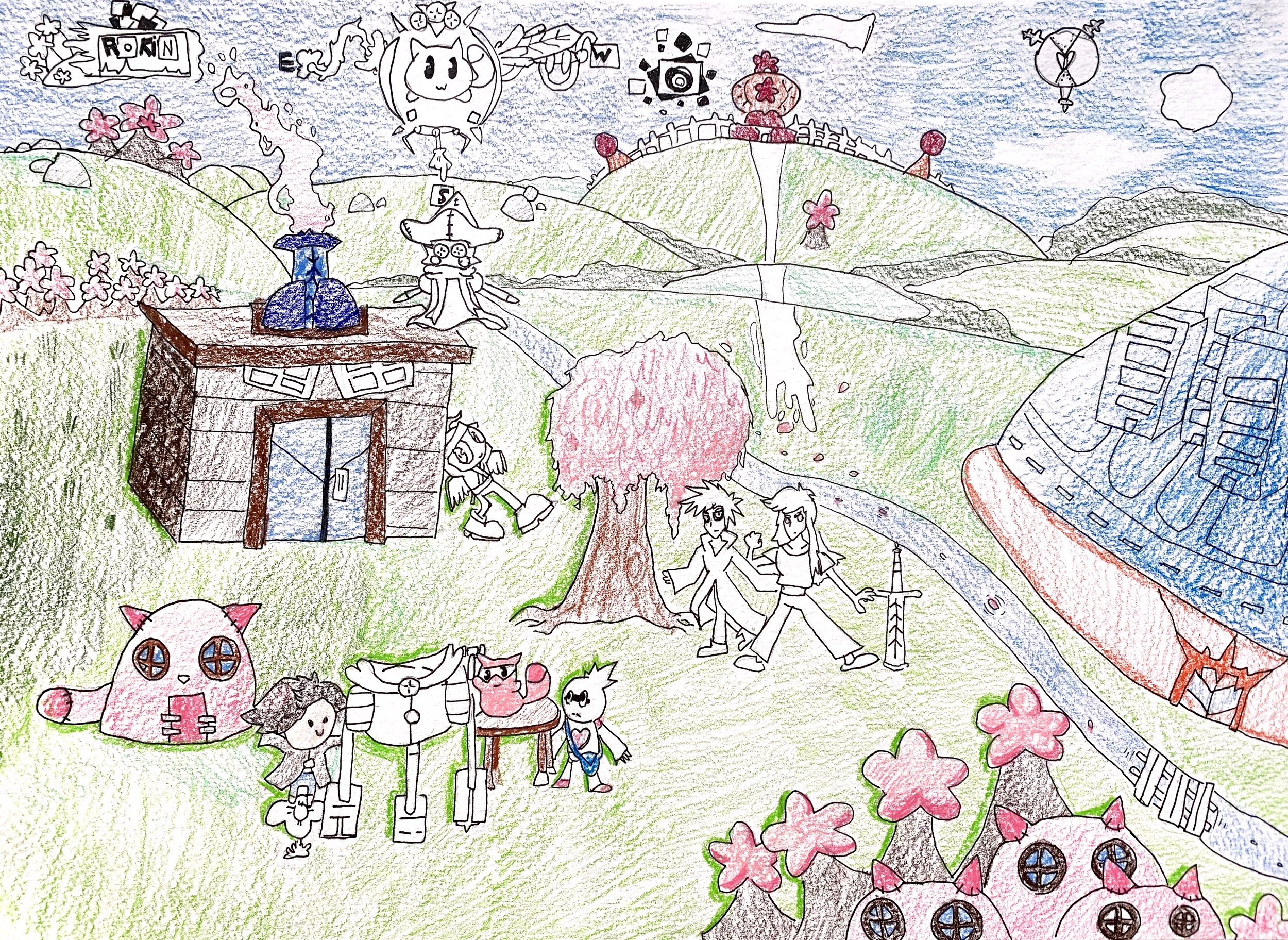
Illustrated maps are different than regular maps because they are meant to capture the experience of a place, not necessarily the geographical details. Illustrated maps can be of actual places or imaginary places, places visited or places we hope to visit. They can be of cities, countries, our backyard, our childhood town memories, or an imaginary planet.
Students learned about various components that go into maps. Borders, a title, symbols, legends, inset maps, compass roses, and the illustrated map itself. We don't need to include all these components but including some helps it look more like a map than just an illustration.
Here are some of the maps created. Bon voyage!


